

Photo: Josep Renalias
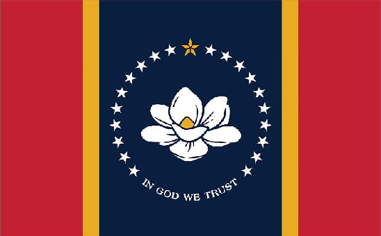
Magnolia — Mississippi State Flower
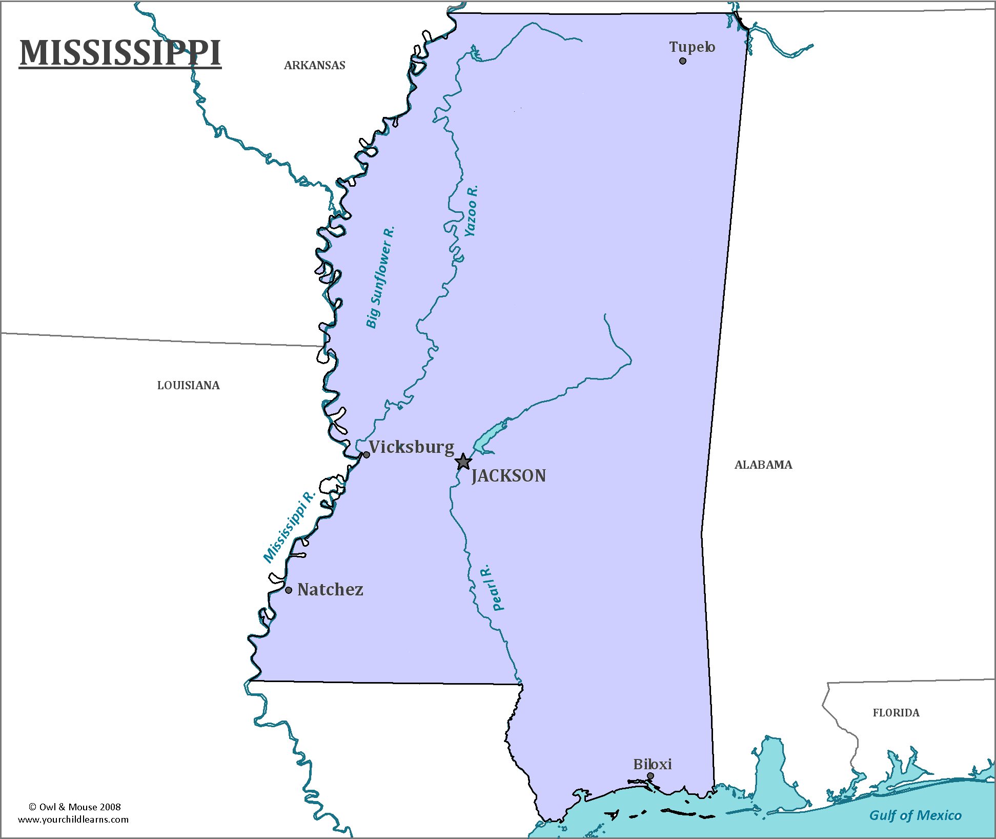
Mississippi
Mississippi is in the southern portion of the United States. The Mississippi river, including the Mississippi Delta, forms the western border of the state. Mississippi has a short coastline on the Gulf of Mexico, where the Mississippi River meets the Gulf of Mexico.
Date first discovered by Europeans: Hernando de Soto, a Spanish explorer, was the first to travel through what is now Mississippi in 1540.
Date admitted to US: 1817
Date seceded: 1861
Date readmitted to US: 1870
Capital: Jackson
Largest City: Jackson
Terrain: Nearly all of Mississippi is lowlands, or plains near sea level. Mississippi is home to many bays along the coastline.
The Mississippi Delta, along the Mississippi River, which forms the Western boundary of the state, has rich alluvial soil that is excellent farmland.
Area: 48,430 square miles
Area rank: 32th
Population: 2,994,079
Population rank: 31st
Electoral votes: 6
“Blues” is a type of music that was formed in the Deep South from captured Africans forced to work as slaves. Many of the slaves brought their native musical traditions with them, and it is believed that these traditions laid the foundation of what would become the Blues. It is not clear where the Blues originated from, but the earliest known record of the musical style is from 1901 in Mississippi. Performers carried their music north with them during the “Great Migration”, especially to Chicago, where their music evolved further.
Unfortunately, Mississippi is generally ranked among the lowest states in measures of education and health.
Mississippi was badly damaged by Hurricane Katrina in 2005, which was the costliest natural disaster in the history of the United States. As Mississippi is a rather flat state (the mean elevation is 300 feet above sea level), it relies heavily on levees to prevent flooding. Many of these levees were breached or broken in Hurricane Katrina.
Print this map of the United States US States and Capitals Map Quiz
Free Maps, Map Puzzles and Educational Software: Owl and Mouse Educational Software
