

Photo: Fir0002
Peach blossom — Delaware State Flower
Delaware
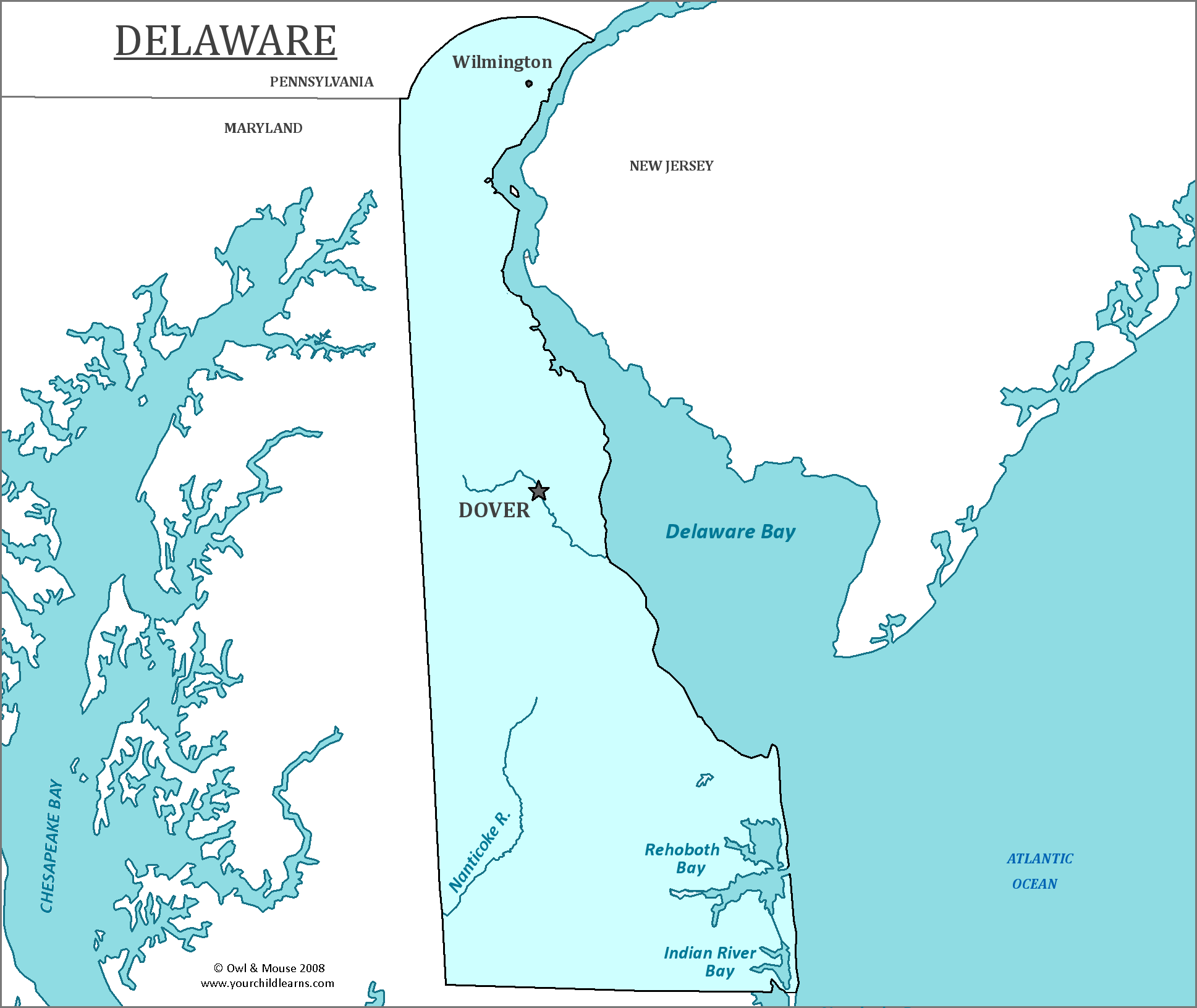
Delaware is a small state on the Atlantic Coast.
Date first discovered by Europeans: In 1631, by the Dutch.
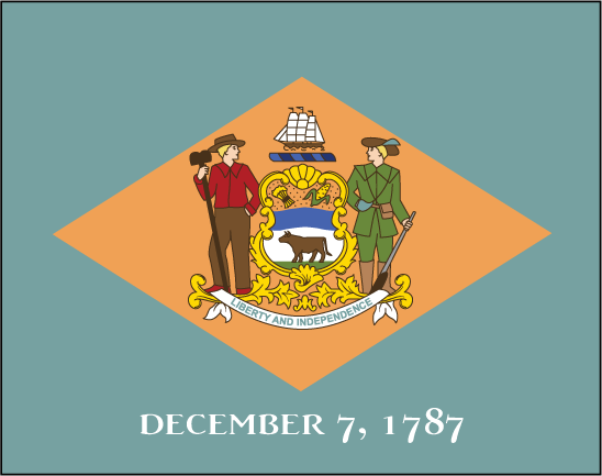
Date admitted to US: 1787, and was the first state to ratify the constitution
Capital: Dover
Largest City: Wilmington
Terrain: The geography of Delaware is flat and mostly level, with the lowest mean elevation of any state in the U.S. The highest point, Ebright Azimuth, only reaches 447.85 feet above sea level.
Area: 1,982 sq. mi
Area rank: 49th
Population: 945,934
Population rank: 45th
Electoral votes: 3
Delaware is the only state to have a border described by the arc of a circle.
It was named after Thomas West, 3rd Baron de la Warr, Virginia’s first colonial governor and an English nobleman.
Delaware’s state bird is the Delaware Blue Hen, which can be traced back to the Revolutionary War.
Print this map of the United States US States and Capitals Map Quiz
Free Maps, Map Puzzles and Educational Software: Owl and Mouse Educational Software


