CANADA

More Free Maps: Maps that Teach


Map of Canada and Provinces


Maps of all of the Countries of North America

Online Atlas Map of Canada

Canada Map Puzzle

Arctic Ocean

Print Maps Large or Small of North America and the Countries of North America

Maps of All Countries

Map of Europe
 

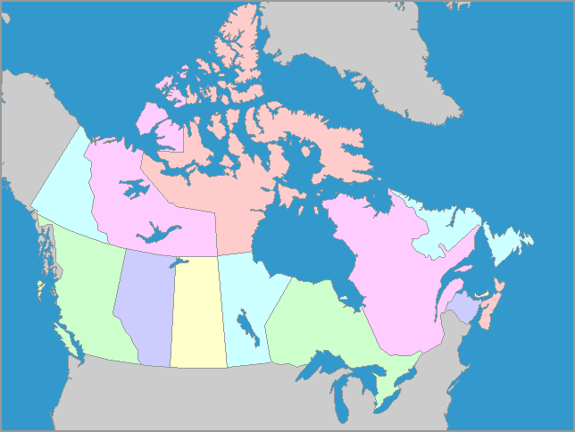
      Canada occupies the northern part of the continent of North America.  Canada stretches across the continent from the Atlantic Ocean to the Pacific Ocean. Its southern border meets the United States, and it goes north to the Arctic Ocean.  Canada is the second largest country in the world.  The magnetic north pole (not the same as the geographical north pole) has been located within Canadian territorial claims, but the location of the magnetic north pole changes from year to year.
 

Information from:     The CIA World Fact Book

Free Educational Software: Owl and Mouse Educational Software


We welcome all comments on your and your children's experience with our maps and software.  Any additional learning ideas will be added to our pages for others to enjoy.

E-Mail us at:

Privacy Policy   -   Terms of Service

All Material Copyright 1998-2011 Owl and Mouse Educational Software

All pages and downloadable software may be freely used for individual and classroom instruction but may not be sold or redistributed.