

Quill's Quiz - 1100 Question US Mega Geography Quiz
Print this map of the United States US States and Capitals Map Quiz
Free Maps, Map Puzzles and Educational Software: Owl and Mouse Educational Software
Print this map of the United States US States and Capitals Map Quiz
Free Maps, Map Puzzles and Educational Software: Owl and Mouse Educational Software
The United States
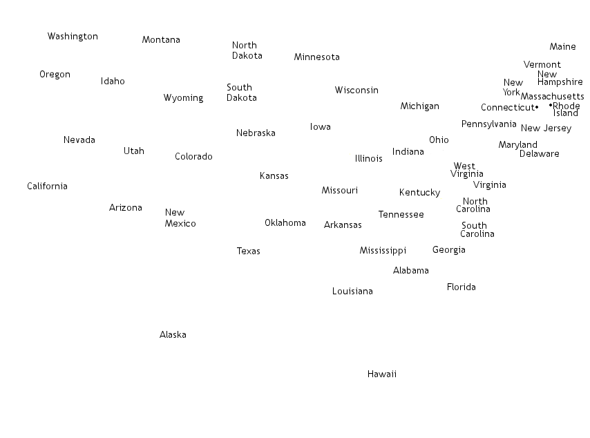
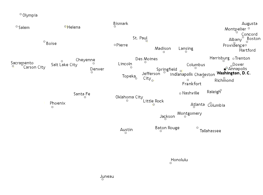
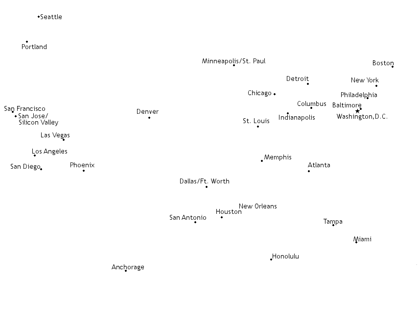
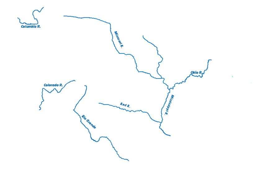
Sweeping all the way across the continent of North America, from the Atlantic Ocean to the Pacific Ocean, the United States is the third largest country in the world, including the non-contiguous states of Alaska and Hawaii. The United States borders Mexico on the south and Canada to the north, and the states on the south-east coast touch the Gulf of Mexico. The United States map shows the US bordering the Atlantic, Pacific and Arctic oceans, as well as the Gulf of Mexico. The United States map shows the major rivers and lakes of the US, including the Great Lakes that it shares with Canada.
Use this United States map to see, learn, and explore the US. The map of the US shows states, capitals, major cities, rivers, lakes and oceans. By pressing the buttons at the top of the USA map you can show capitals or cities or rivers. Learning the geography of the United States helps in understanding the history and present-day events of the US.
