Quill's Quiz - 1100 Question US Mega Geography Quiz
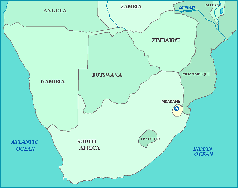
Print this map of Swaziland US States and Capitals Map Quiz
Free Maps, Map Puzzles and Educational Software: Owl and Mouse Educational Software
Print this map of Swaziland US States and Capitals Map Quiz
Free Maps, Map Puzzles and Educational Software: Owl and Mouse Educational Software
Swaziland
The Republic of Swaziland, surrounded by South Africa and Mozambique, was settled by the Swazi people, who are descended from the Bantu before Europeans discovered the area. After discovery by Europeans, Dutch, French, Flemish, and British settlers came and became known as the Boers. The British soon conquered the land from the Boers in the First Boer War, and claimed it along with South Africa. Independence for the country was recognized in 1881, but the British retook the land in 1902 in the Second Boer War. Despite being under British control, Britain had their other protectorate of South African manage the infrastructure of Swaziland. True independence from both Britain and South African came in 1968.. The population is primarily Swazi people who speak a mix of SiSwati (the language of the Swazi people), and English. Families in Swaziland tend to be polygamous, with each wife with her own hut, each centered around a hut for the husband and a corral for cattle, which are used both as income and a symbol of wealth. Government services make up 50% of the economy; the country is considered one of the most economically unequal countries in the world. 75% of the population lives off of subsistence farming and 60% of the population live below the poverty line, on less than $1.25 a day. Grades K-4 are free to all children, including orphans and 'vulnerable' children. Swaziland has the highest national HIV/AIDS prevalence in the world. According to the WHO, 64% of all deaths are AIDS related. The average life expectancy is 47.6 years, ranking the country 191 out of 198 in the World Factbook. 82.7% of the population is Christian.


