
Print this map of Eritrea US States and Capitals Map Quiz
Free Maps, Map Puzzles and Educational Software: Owl and Mouse Educational Software
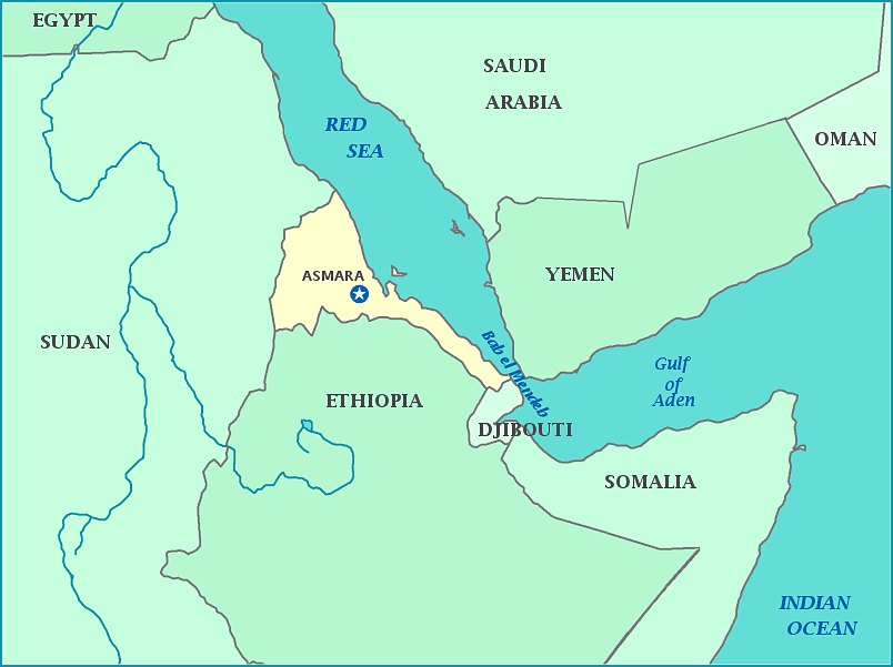
Eritrea is believed to be the geographical origin of modern human beings. The country is also believed to be the origin of Punt, a land of plenty with which Egypt was said to have constant trade and became a source of their wealth and power. The country is located on the northern border of the Horn of Africa. With its capital of Asmara, the country is surrounded by Sudan, Djibouti, and Ethiopia, with a large coastline on the Red Sea. Eritrea officially became an Italian colony, established due to an economic rush to claim sources of coal after the Suez Canal was made. The country was taken over by Britain and Ethiopia before regaining its independence in 1993. This ushered in an era of harsh discrimination, forcing people to leave to due their religion. Today, things haven't improved much as human rights organizations are not allowed to function in the country.
