
Print this map of Bangladesh US States and Capitals Map Quiz
Free Maps, Map Puzzles and Educational Software: Owl and Mouse Educational Software
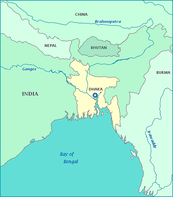
From being part of British India, what is now Bangladesh became part of the new, primarily Muslim, country of Pakistan in 1947. It was an unsatisfactory arrangement, with East Bengal (later East Pakistan) separated by 1000 miles—the width of India—from the rest of Pakistan. Present-day Bangladesh was established in 1971 after a war of independence from Pakistan. Bangladesh is surrounded on three sides by India, with a short border to the east with Burma. Its southern border is on the Bay of Bengal, on the Indian Ocean. Bangladesh is a low-lying country, most of which is on the delta of the Ganges and Brahmaputra rivers. It is subject to hurricanes and floods, especially during the monsoon season. Bangladesh has one of the highest population densities in the world.
