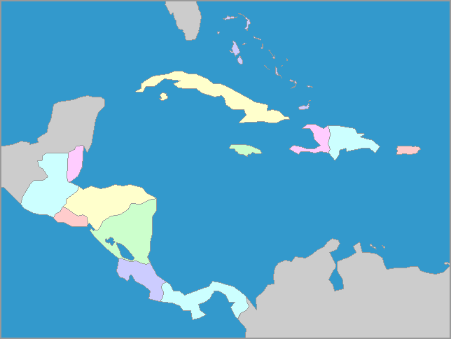
Central America consists of seven
countries
, stretching between the southern tip of Mexico to the northern
edge of Colombia in South America. These countries have coasts on both
the Pacific Ocean and the Caribbean Sea, except for Belize ad El
Salvador. Included on the Central America map are the island
countries of the Caribbean: The Bahamas, Jamaica, Cuba, Puerto
Rico, Haiti and the Dominican Republic, the last two of which share the
island of Hispaniola. All of them are relatively small countries
with tropical climates, greatly influenced by the closeness of the sea.