
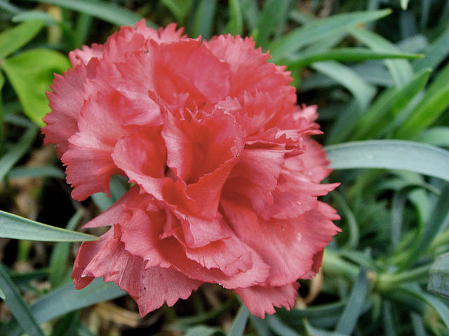
Photo: Louisa Billeter
Scarlet carnation — State Flower
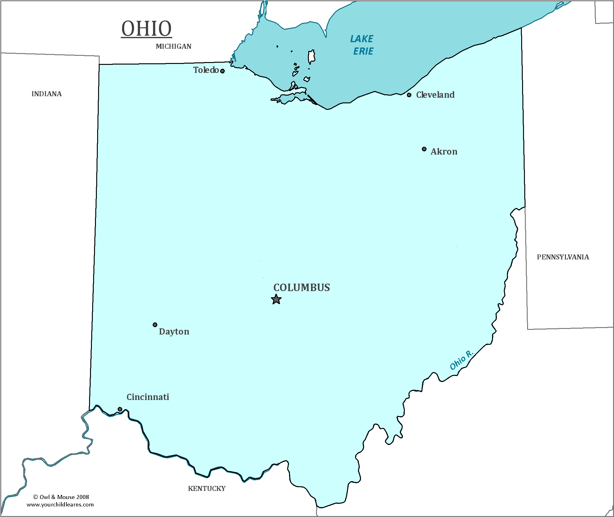
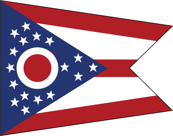
Ohio
Ohio is a state in the Midwest region of the United States, south of Lake Erie. The Ohio River forms the southern border of the state, and flows into the Mississippi river.
Date first discovered by Europeans: The French set up trading posts in the 18th century.
The French had explored the land that would become Ohio in the 17th century. The French Explorer René-Robert Cavelier, Sieur de La Salle explored the northern portion of Ohio in 1669.
Date admitted to US: 1803
Capital: Columbus
Largest City: Columbus
Terrain: Much of Ohio is flat plains. A portion of this flat area in the Northwest was once home to the Great Black Swamp, which is now largely drained to create rich farmland. The Southeastern portion of the state is a part of the Allegheny Plateau, which has rugged hills and forests.
Ohio is where the Mississippi and the Ohio River meet. As the Ohio River goes to the waterways of New York, the area connects the Atlantic port with the Midwest. The Ohio River is considerably larger than the Mississippi where they meet.
Population: 11,594,163
Population rank: 7th
Area: 4,825
Area rank: 34th
Landscape: Part of the northern Great Plains
Electoral votes: 18
Ohio was approved for statehood by President Thomas Jefferson in 1803. Congress had no tradition of formally declaring statehood, so it was assumed by many people in the United States that Ohio was indeed, legally a state. The mistake was not discovered until 1953, nearly a hundred and fifty years after the mistake. President Dwight David Eisenhower signed a congressional joint resolution to retroactively declare Ohio a state formally.
Ohio’s position on Lake Erie not only made it possible to trade with New York, but Canada as well. Ohio had entered the Union outlawing slavery, and many abolitionists within the state helped African American slaves escape towards Canada where slavery was outlawed and fugitive slaves and freed blacks could not be kidnapped back into slavery. Many bootleggers also enjoyed the proximity during Prohibition, such as George Remus who made nearly 50 million dollars from illegal alcohol sales.
Print this map of the United States US States and Capitals Map Quiz
Free Maps, Map Puzzles and Educational Software: Owl and Mouse Educational Software
