
Print this map of Estonia US States and Capitals Map Quiz
Free Maps, Map Puzzles and Educational Software: Owl and Mouse Educational Software
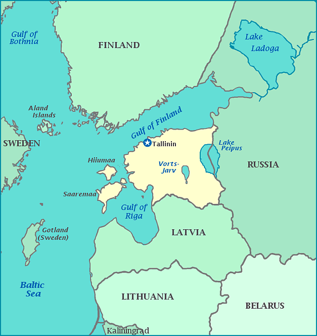
Estonia is the northernmost of the three
Baltic countries. Its land borders are with Russia to the East and
Latvia in the south. To the west is the Baltic Sea and the Gulf of
Riga with the the Gulf of Finland to the north. Estonia includes
two large islands and several smaller ones.
Like its Baltic neighbors Estonia became an independent
country after World War I and was forcibly incorporated into the Soviet
Union in 1940 and invaded by Germany in 1941. With the collapse of
the Soviet Union in 1991 Estonia became independent once again.
Russian troops left the country in 1994 and Estonia joined NATO and the
EU in 2004.
