
Quill's Quiz - 1100 Question US Mega Geography Quiz
Print this map of Burkina Faso US States and Capitals Map Quiz
Free Maps, Map Puzzles and Educational Software: Owl and Mouse Educational Software
Print this map of Burkina Faso US States and Capitals Map Quiz
Free Maps, Map Puzzles and Educational Software: Owl and Mouse Educational Software
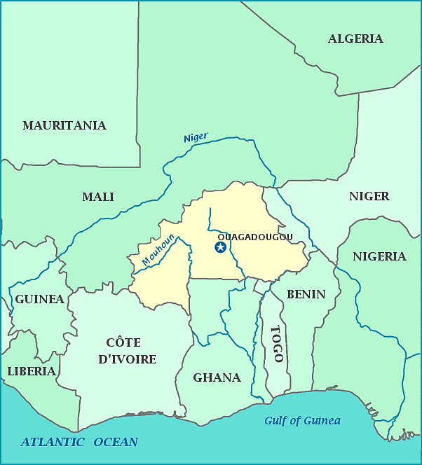
Burkina Faso was originally called Volta, after the Red, White, and Black Volta rivers that converge within the territory. It is a land-locked country in the upper part of West Africa, bordered by Mali and Niger to the northwest and northeast respectively, and Cote d’Ivore, Togo, Benin and Ghana to the south. Its capital is Ouagadougou. Burkina Faso was a French protectorate established in 1896. The protectorate became a self-governing colony and the name was changed to Upper Volta on December 11 in 1958. In 1960, it became an independent country and in 1984, changed its name to Burkina Faso, meaning ‘Land of the Free People’. The army took over the government in 1970.
